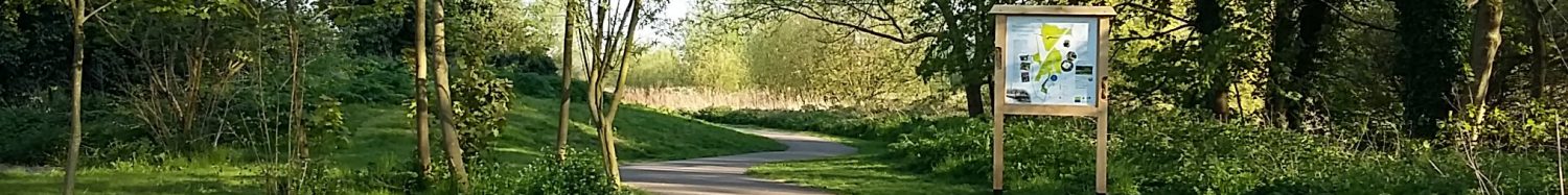
Folly Meadow (2.04 hectares) is dominated by the main line railway embankment which runs along its eastern edge, Folly Meadow was originally grazed until acquired by the Millennium Green Trust in 2000. The wettest parts that are spring fed and contain the richest areas for wild flowers are cut in late summer to retain and enhance the the diversity of flowers. Towards the northern drier end a new woodland has been planted by volunteers to commemorate the first Chair of the Trust Arthur Forrester. Next to Arthur’s Wood is the Community Orchard which contains local varieties of apples, pear, plum and cherries (orchard map) There are two water filled ditches with a dipping platform and the southern boundary is the New Reach dug in 1761 as part of the Blyth Navigation.
Geology:
The northern end has been subject to tipping at some time in the past with bottles and glass frequently found when tree planting was in process. A trial hole near the gate was pure sand under the topsoil but much of the southern end had peat exposed at the surface. Near the New Reach dredgings affected the surface layers.
Drainage:
A storm drain from Loam Pit Lane(?) runs under Holton Road, the Railway and the access gate. The ditch forms the western boundary and runs into the New Reach. It is kept dredged by the tenant and the water level is nearly 1 metre below our fields for most of its length. Another storm drain enters from under the railway along the eastern boundary and runs in a deep ditch until it turns sharply south across our land. We have a water control mechanism under the footpath adjacent to the New Reach which holds the water just below ground level throughout the year. It is assumed that this ditch is spring fed as it never seems to stop flowing even after a prolonged dry spell. An east/west ditch was dug in 2005 on the line of a ditch shown on old maps. We have no responsibility for the ditch alongside the railway as far as we know and the fall is such that our water control mechanism has no influence on the length of ditch alongside the railway. Dredging of the New Reach is carried out from our side and the material placed on our meadow. This was carried out by the Environment Agency in 2000 and winter 2009/2010.
Habitats:
Summer grazing with cattle was the management until we bought the land in 2000. Orchids which had been present near the footpath to the Folly disappeared in the early 1980s and it is assumed that a herbicide had been applied. However this was not applied to all areas as this field is the best floristically on the Green with areas of fen vegetation and two species of orchid have been recorded in recent years. A small pond was dug by hand in the winter of 2015/2016 in memory of Louise Solomon.
The most northern and the highest section became dominated by nettles when grazing ceased. It was planted with a variety of deciduous trees and named Arthur’s Wood in honour of our first Chairman Arthur Forrester. Planting took place in the winters of 2007/8 and 2008/9. An area immediately to the south was planted with local varieties of fruit trees in 2008.
Immediately following the cessation of grazing a reedbed (Phragmites australis) appeared and this has been left largely unmanaged since. However it is clear that it has deteriorated dramatically and the areas of most vigorous reed growth are those that have received mowing since 2000. The reedbed abuts a spring fed area to the south and this receives a variety of summer mowing with the removal of cut material. This has reduced the dominance of pond sedge and favoured such species as greater birds’ foot trefoil (Lotus pedunculatus); ragged robin (Lychnis flos-cuculi); fen bedstraw (Galium uliginosum). Harvest mice are known in this area from their nests.
At the eastern end an arable weed area was established. It is fenced to exclude rabbits and is subject to annual ground disturbance.
The adjacent south facing railway embankment is dominated by scrub and rank grassland. It provides for undisturbed nesting and basking areas.